CivilGEO, Inc.
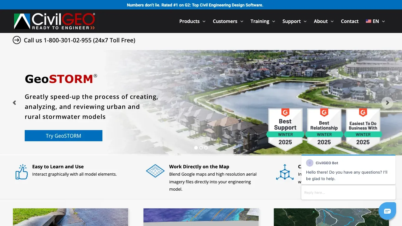
Revolutionize Stormwater Modeling with GeoSTORM®.
Home & ArchitectureUnverified:
About CivilGEO, Inc.
GeoSTORM® by CivilGEO simplifies the creation, analysis, and review of stormwater models for both urban and rural settings. Designed for civil engineers, it integrates easily with aerial imagery and mapping tools.
Key Features of CivilGEO, Inc.
GeoSTORM® offers an intuitive graphical interface, ensuring ease of use for all model elements. It seamlessly blends Google Maps and high-resolution aerial imagery into engineering models, streamlining the design process. Rated highly for support and user experience, it stands out in the civil engineering software market.
Use Cases of CivilGEO, Inc.
Ideal for civil engineers tasked with managing stormwater systems, GeoSTORM® excels in urban and rural planning. It enhances productivity in flood risk assessment, drainage network design, and environmental impact analyses by providing precise and easily adjustable models.